Sai River nears critical level after overnight rain in Chiang Rai
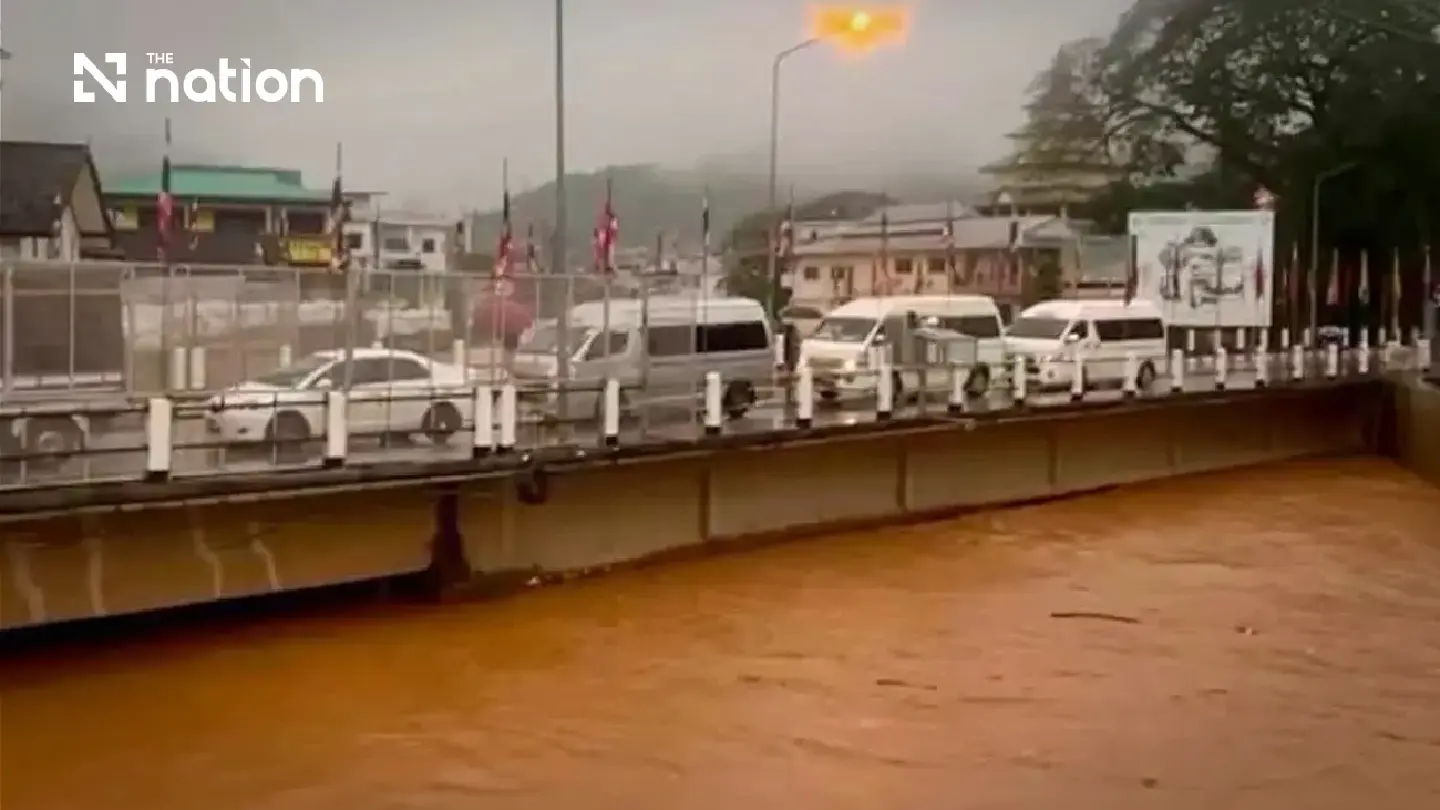


Chiang Rai issues Cell Broadcast alerts to four Mae Sai communities as the Sai River rises to 4.01 metres after heavy upstream rain.
- Following heavy overnight rain, the Sai River in Chiang Rai has risen to 4.01 meters, just 19 centimeters below its critical level of 4.20 meters.
- Authorities have issued Cell Broadcast alerts to four riverside communities in the Mae Sai district, urging residents to prepare for potential overflow and flash flooding.
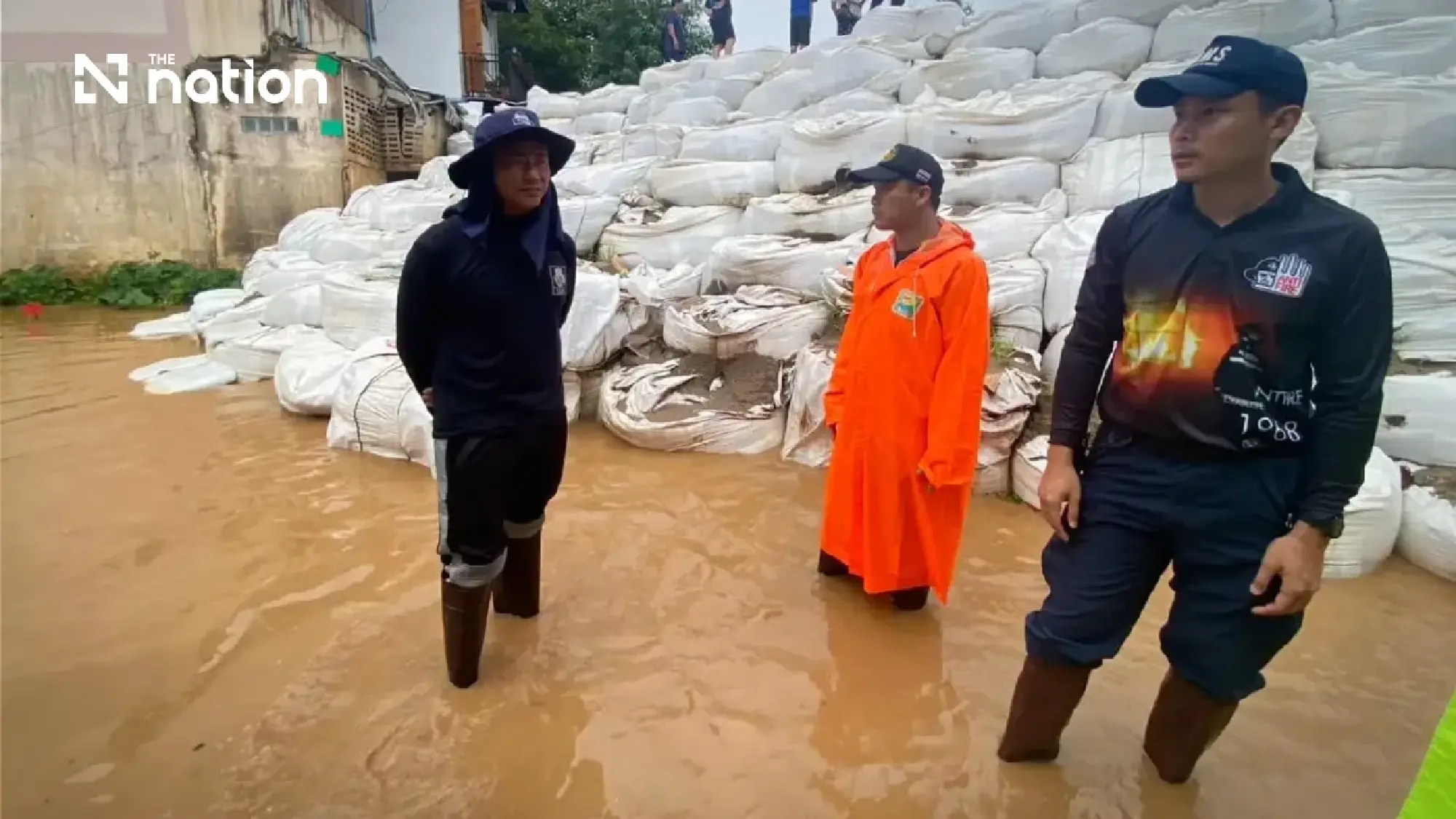
- Flood defenses are being reinforced with large barrier bags near the First Thai–Myanmar Friendship Bridge to protect Mae Sai's commercial and residential areas.
- Mae Sai and Mae Fah Luang districts have been placed under a yellow, or preparedness-level, alert as officials intensify monitoring of the rising water levels.
Cell Broadcast alerts have been sent to four riverside communities in Chiang Rai’s Mae Sai district as the Sai River continues to rise towards its critical level following heavy rain upstream.
The Department of Disaster Prevention and Mitigation (DDPM) reported on Friday (July 31) that the water level at the monitoring station near the First Thai–Myanmar Friendship Bridge was continuing to rise.
Residents in low-lying areas along the river were urged to closely monitor water levels and official warnings. The alert covers Sai Lom Joy community in Moo 1 of Wiang Phang Kham subdistrict, as well as Koh Sai in Moo 7, Mai Lung Khon in Moo 10 and Mueang Daeng in Moo 2 of Mae Sai subdistrict.
The DDPM worked with mobile network operators Advanced Info Service (AIS), True Corporation and National Telecom (NT) to distribute the Cell Broadcast warning after rainfall in the upper Sai River catchment increased the risk of the river overflowing its banks.
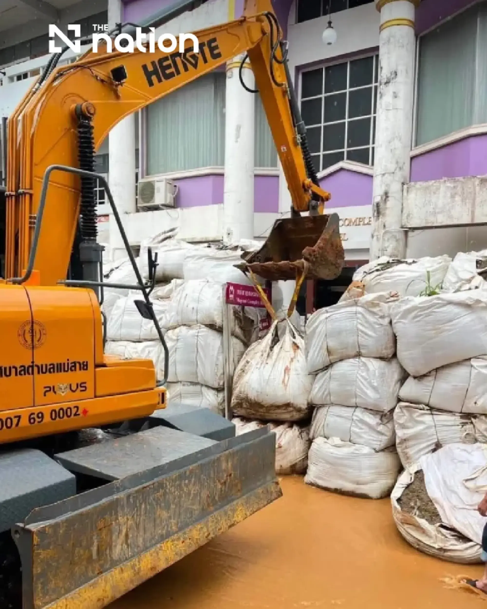
Chiang Rai raises monitoring after overnight rain
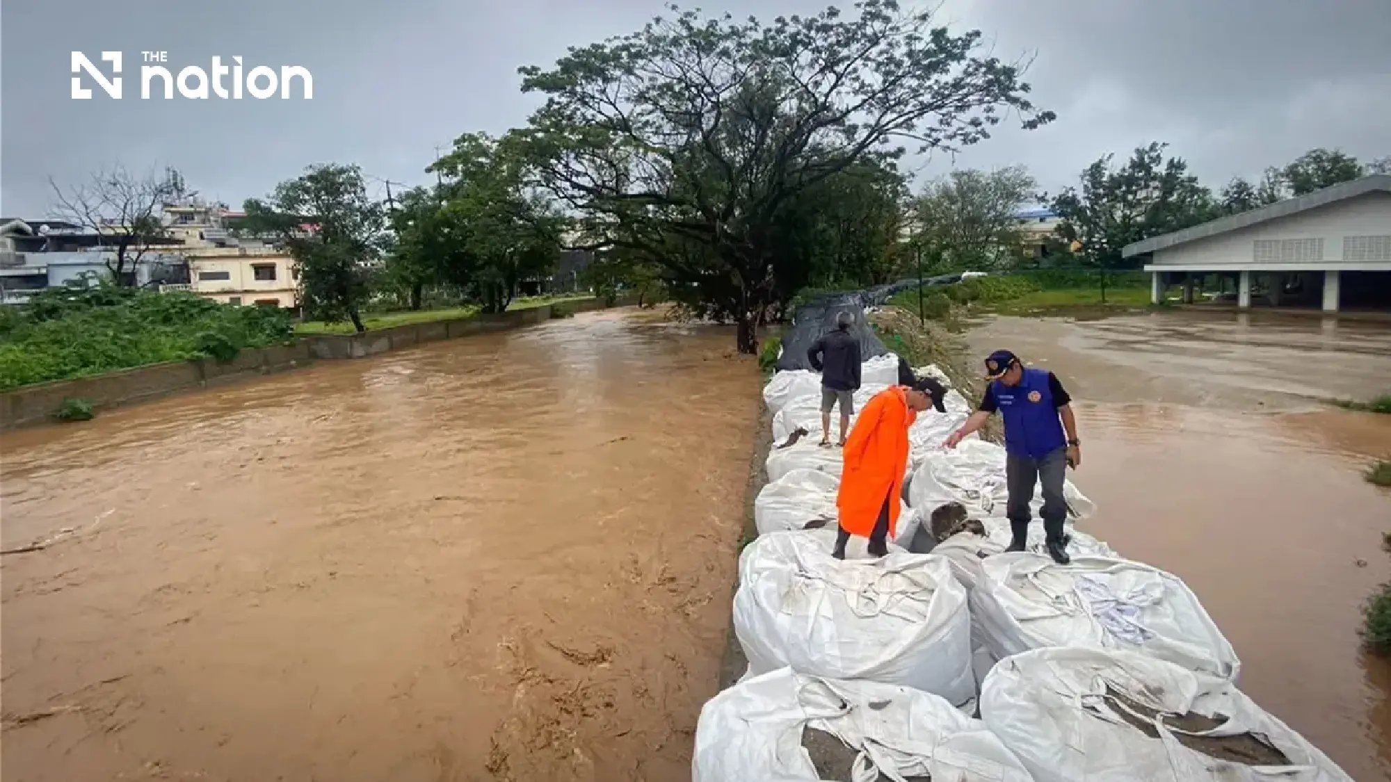
Heavy overnight rain pushed the Sai River in Mae Sai district to 4.01 metres on Friday morning, just 19 centimetres below the critical level of 4.20 metres, prompting Chiang Rai authorities to intensify monitoring.
Mae Sai and Mae Fah Luang districts were placed under a yellow, or preparedness-level, alert, with residents in at-risk communities advised to prepare for possible river overflow, flash flooding and run-off from higher ground.
The Public Relations Department’s Chiang Rai radio station reported at 8.30am that persistent rain across the province overnight had caused water levels in major rivers and streams to rise rapidly.

Sai River approaches critical threshold
At 8am, the flash-flood and run-off monitoring centre operated by the Research, Development and Hydrology Division of the Department of Water Resources recorded the Sai River at 4.01 metres at the Ban Mae Sai gauge in Wiang Phang Kham subdistrict.
Upstream at Ban Cho Ta Da in Myanmar, accumulated rainfall reached 78.8 millimetres. The upstream monitoring station was at 76.67% of capacity, while the Sai River had risen to 95.06% of its warning level.
The river had not overflowed, but further run-off was continuing to move downstream. Water levels could rise further if rain persisted in upstream areas.
At Ban Samakkhi Mai in Mae Fah Luang subdistrict, the water level stood at 3.14 metres, below the critical mark of 4.50 metres. Officials nevertheless maintained close surveillance because run-off from the surrounding highlands could cause conditions to change rapidly.
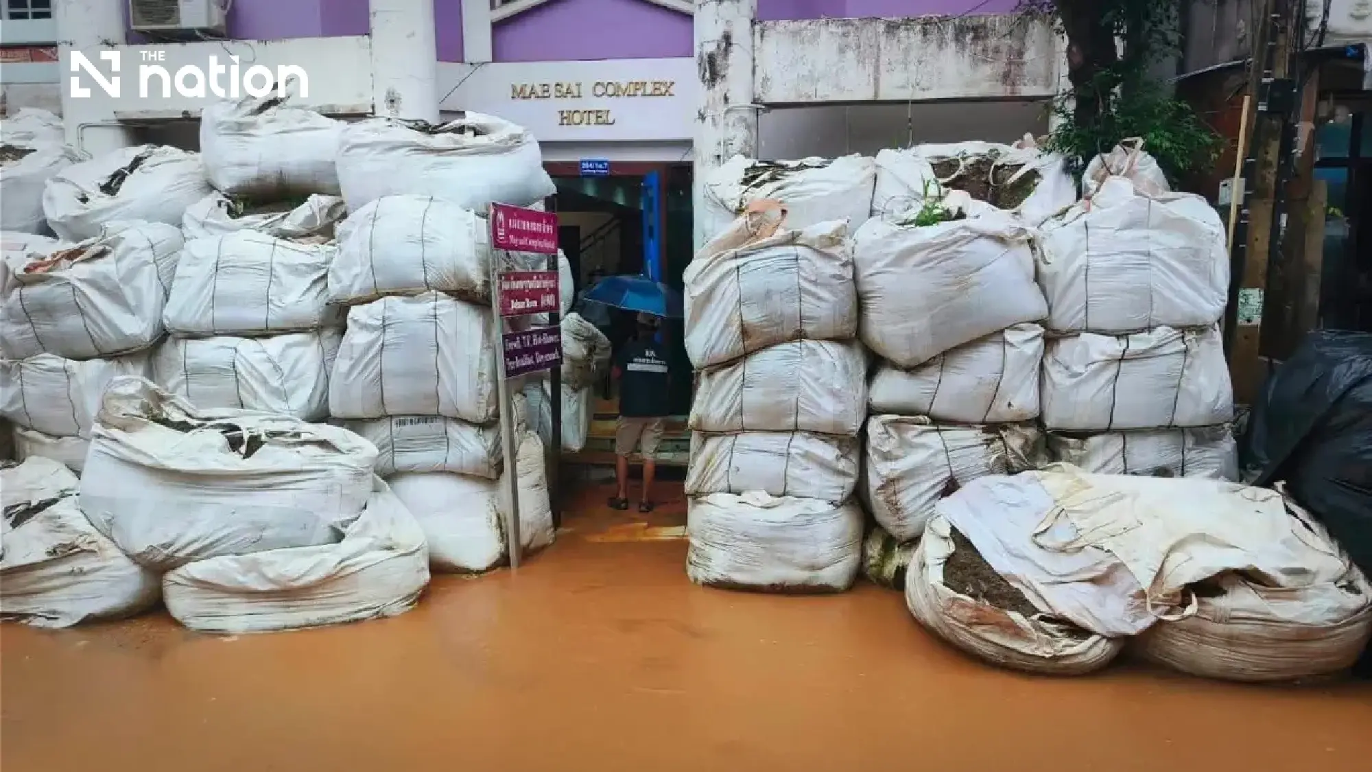
Flood barriers reinforced near friendship bridge
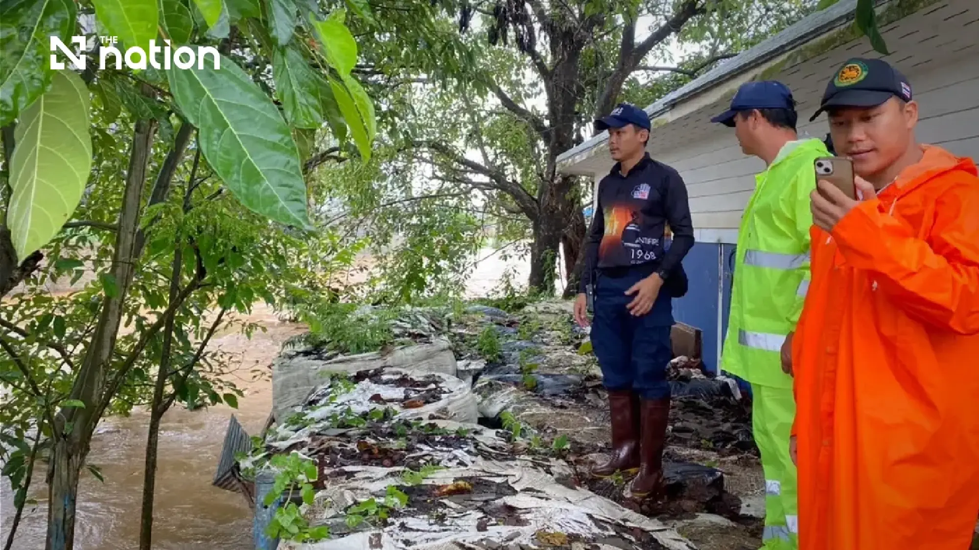
Mae Sai subdistrict mayor Anucha Yodchiangkham and Mae Sai district chief Warayut Khombun inspected vulnerable sections beneath the First Thai–Myanmar Friendship Bridge as municipal teams moved to reinforce flood defences.
Engineering and disaster-prevention personnel deployed large flood-barrier bags to seal gaps at high-risk points along the riverbank. The barriers are intended to prevent the Sai River from spilling into Mae Sai’s commercial district and nearby residential communities.
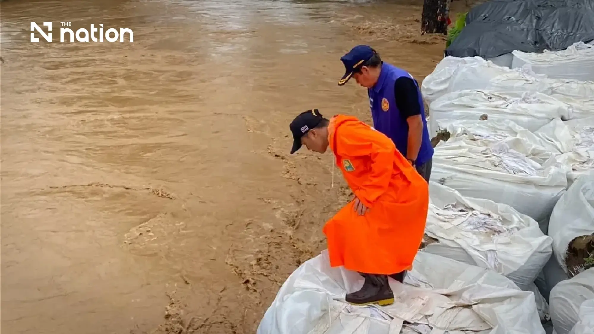
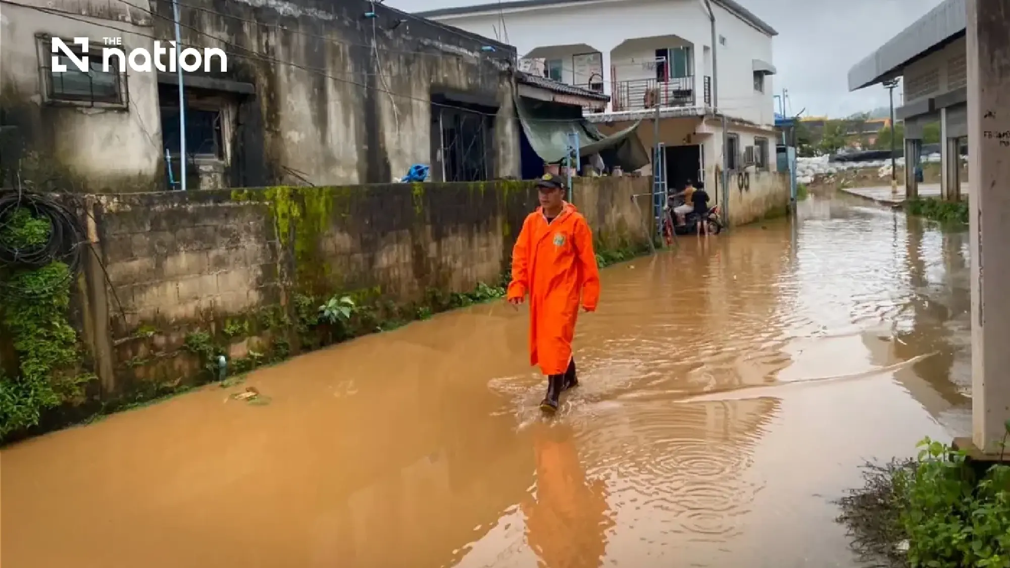
No additional damage or newly affected areas had been reported as of 8.15am. Patrol teams were deployed to monitor water levels continuously and in real time.
Residents in at-risk locations were urged to move valuables, essential belongings and pets to higher ground and remain prepared for possible flash flooding or sudden run-off.