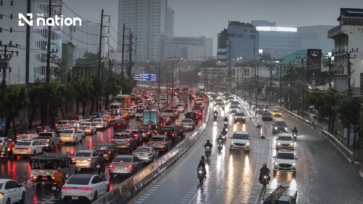
Bangkok faces a 60% chance of afternoon and evening storms on August 4, while very heavy rain is forecast in parts of eastern Thailand
A strengthening south-westerly monsoon is causing heavy rain across multiple regions of Thailand, with warnings of potential flash floods and forest run-off.
Sea conditions are becoming rough in both the Andaman Sea and the Gulf of Thailand, with waves expected to reach two to three meters, and even higher during thunderstorms.
Authorities have advised all vessels to proceed with caution, and small boats in the upper Andaman Sea have been warned to remain ashore due to the dangerous conditions.
Thailand is forecast to experience heavy rain in several regions on August 4, with very heavy downpours expected in parts of the East as the south-westerly monsoon strengthens.
The Thai Meteorological Department warned that accumulated rainfall could cause flash floods and forest run-off, particularly in low-lying areas and on hillsides near waterways.
Bangkok and surrounding provinces have a 60% chance of thunderstorms, mainly from the afternoon into the evening. Temperatures will range from 26-28C in the morning to highs of 33-36C.
A monsoon trough extends across the upper North and northern Laos into a low-pressure area over the coast of northern Vietnam. The moderate south-westerly monsoon over the Andaman Sea, Thailand and the Gulf of Thailand is also becoming stronger.
Very heavy rain forecast in eastern provinces
The East has a 60% chance of thunderstorms, with heavy rain expected in Prachin Buri, Rayong and Chanthaburi.
Very heavy rain is forecast in Nakhon Nayok and Trat.
Temperatures will range from 23-28C to highs of 32-35C. South-westerly winds will reach 20-35 kilometres per hour, with waves of about two metres and above two metres during thunderstorms.
The North also has a 60% chance of thunderstorms, with heavy rain forecast in Mae Hong Son, Chiang Mai, Chiang Rai, Lampang, Lamphun, Phayao, Nan, Tak and Uttaradit.
Temperatures will range from 23-27C to highs of 31-36C, with south-westerly winds of 10-20 kilometres per hour.
The Northeast has a 60% chance of thunderstorms and heavy rain in Nong Khai, Bueng Kan, Nong Bua Lamphu, Udon Thani, Sakon Nakhon, Nakhon Phanom, Mukdahan and Ubon Ratchathani.
Temperatures will range from 23-26C to highs of 29-35C, with south-westerly winds of 10-20 kilometres per hour.
The Central region has a 40% chance of thunderstorms, with heavy rain expected in Kanchanaburi and Ratchaburi.
Temperatures will range from 24-26C to highs of 34-37C, with south-westerly winds of 10-25 kilometres per hour.
Heavy rain expected across the South
The southern east coast has a 60% chance of thunderstorms, with heavy rain mainly in Chumphon, Surat Thani, Pattani, Yala and Narathiwat.
Temperatures will range from 23-26C to highs of 33-36C. South-westerly winds will reach 15-35 kilometres per hour.
Waves will be about one metre, rising to one to two metres offshore and above two metres during thunderstorms.
The southern west coast also has a 60% chance of thunderstorms, with heavy rain mainly in Ranong, Phang Nga, Phuket, Trang and Satun.
Temperatures will range from 23-26C to highs of 32-35C.
From Phang Nga northwards, south-westerly winds will reach 20-40 kilometres per hour, with waves of two to three metres and above three metres during thunderstorms.
From Phuket southwards, winds will reach 20-35 kilometres per hour. Waves will be about two metres and above two metres during thunderstorms.