
Nan River rise triggers flood alerts across three districts



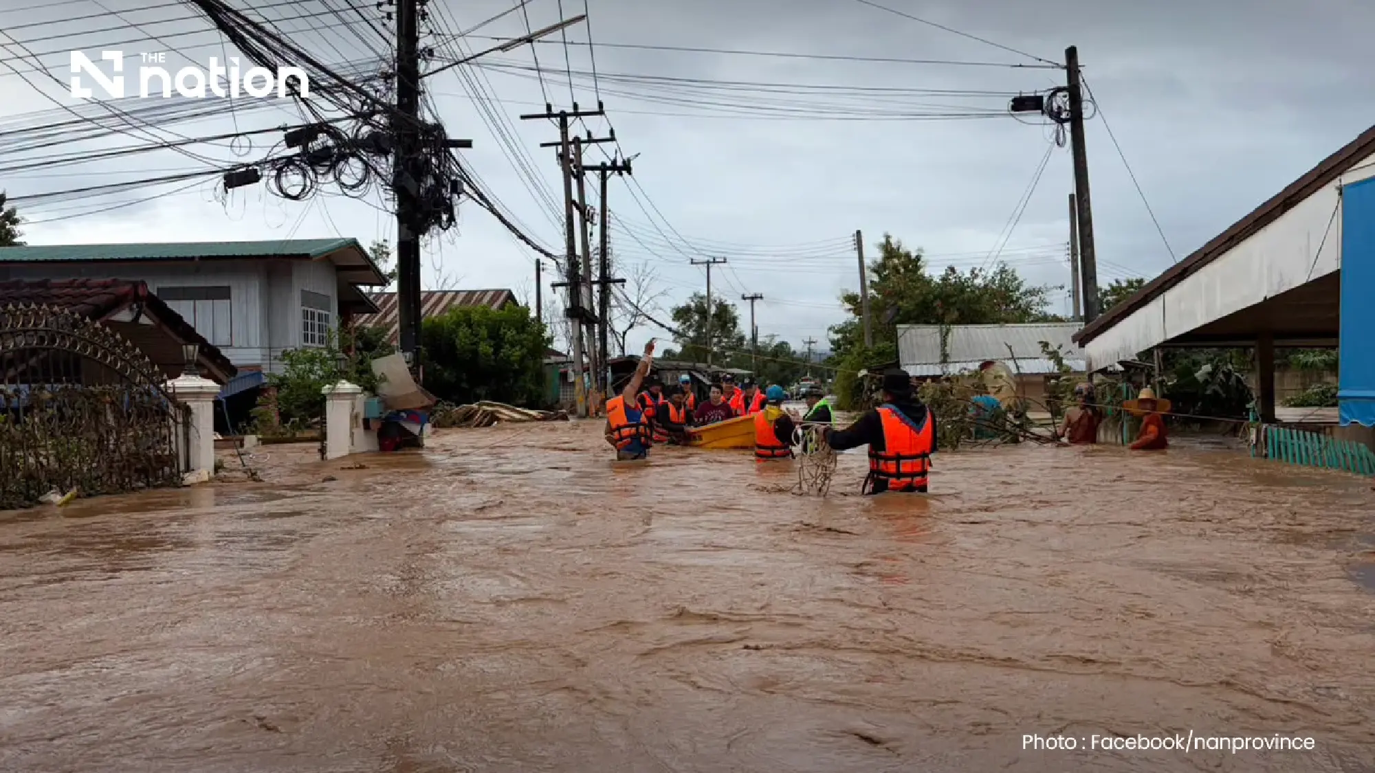
DDPM has issued Cell Broadcast alerts as the Nan River rises across three Nan districts, with riverbank overflow reported in Tha Wang Pha.
The Nan River — a major northern waterway that passes through five provinces before joining the Ping River to form the Chao Phraya — continued rising across Nan province on Wednesday (August 19, 2026), triggering two levels of Cell Broadcast warning in three districts.
The Department of Disaster Prevention and Mitigation (DDPM) said the river had begun overflowing its banks in Tha Wang Pha, while levels in Mueang Nan and Phu Phiang were continuing to rise and could also spill over.
Residents along the Nan River and its tributaries were advised to monitor water levels and follow warnings from local authorities closely.
Working with mobile network operators AIS, True and NT, the DDPM issued an Extreme Alert for flooding in Tha Wang Pha and an Informational Alert over rising water in Mueang Nan and Phu Phiang.

Tha Wang Pha residents told to act immediately
People living beside the river or its tributaries in Tha Wang Pha were told to move belongings to higher ground immediately and relocate vehicles to safe areas.
Vulnerable people, including those who may have difficulty moving without assistance, should also be taken to safer locations.
Anyone requiring evacuation support should contact their subdistrict chief, village head or local administrative organisation.
Members of the public can report emergencies or request assistance through the LINE account “DDPM 1784” by adding @1784DDPM, or call the DDPM emergency hotline 1784, which operates around the clock.

River begins in Nan’s northern mountains
The Nan River originates in the Luang Prabang mountain range in Nan province and flows south towards the lower North and central Thailand.
Its full course is estimated at approximately 630–740 kilometres, passing through Nan, Uttaradit, Phitsanulok, Phichit and Nakhon Sawan.
The river’s route begins around Bo Kluea district before continuing through northern and central parts of Nan province. Several of the districts currently under warning lie along this upper section of the river.
Bo Kluea → Chaloem Phra Kiat → Thung Chang → Chiang Klang → Pua → Tha Wang Pha → Mueang Nan → Phu Phiang → Wiang Sa → Na Noi → Na Muen
The river then leaves Nan province and enters Uttaradit.
Dams and tributaries shape the lower river
In Uttaradit, the Nan River flows through Tha Pla district, where Sirikit Dam plays an important role in managing water across the river basin.
It then continues through Mueang Uttaradit, Tron and Phichai before entering Phitsanulok province.
In Phitsanulok, the river passes through Phrom Phiram, the location of Naresuan Dam, before reaching Mueang Phitsanulok and Bang Krathum.
The Nan also receives water from important tributaries, including the Khwae Noi and Wang Thong rivers. The wider basin supports agriculture, household water use and water management across the lower North.

The downstream route can be summarised as follows:
- Uttaradit: Tha Pla → Mueang Uttaradit → Tron → Phichai
- Phitsanulok: Phrom Phiram → Mueang Phitsanulok → Bang Krathum
- Phichit: Mueang Phichit → Taphan Hin → Bang Mun Nak
- Nakhon Sawan: Chum Saeng → Mueang Nakhon Sawan and Pak Nam Pho

Nan and Ping meet to form the Chao Phraya
After passing through Mueang Phichit, Taphan Hin and Bang Mun Nak, the Nan River enters Nakhon Sawan province and flows through Chum Saeng.
It then reaches Pak Nam Pho in Mueang Nakhon Sawan district, where it meets the Ping River.
The confluence marks the beginning of the Chao Phraya River, which continues through central Thailand before emptying into the Gulf of Thailand.
