
Met Office warns powerful El Niño could make 2027 hottest year
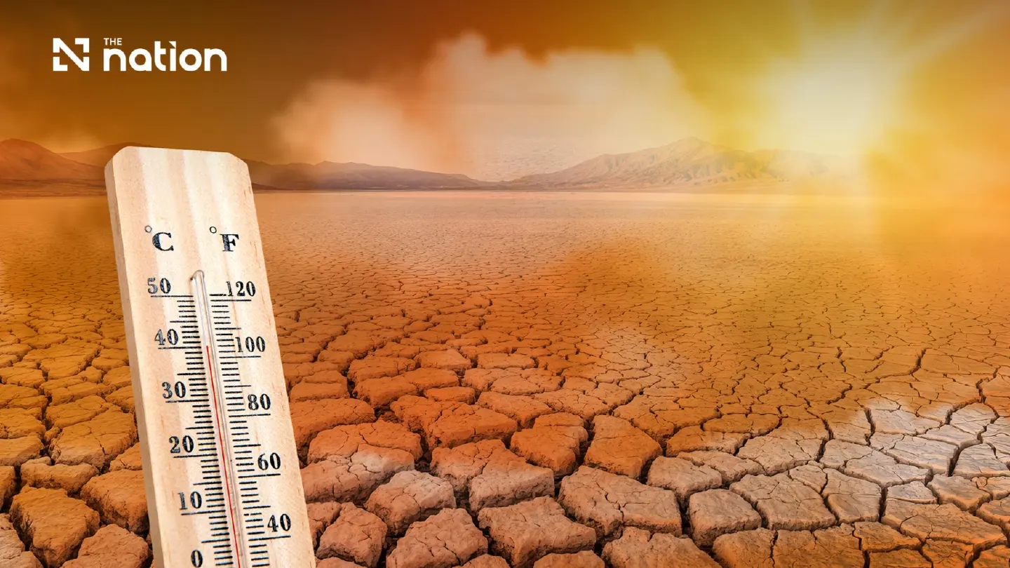


A potentially record-breaking El Niño is strengthening in the Pacific and could intensify droughts, floods and global heat, making 2027 the hottest year yet.
- The UK Met Office warns that a developing El Niño could become the strongest in over a century, potentially making 2027 the hottest year on record.
- Forecasts project that Pacific sea-surface temperatures could rise by more than 3°C above average at the event's peak, an unprecedented signal in forecasting systems.
- The peak effect on global temperatures is anticipated in 2027, the calendar year after the El Niño reaches its winter peak, due to the large-scale release of ocean heat into the atmosphere.
- This natural warming from El Niño is occurring on top of long-term, human-induced climate change, which increases the likelihood of breaking global temperature records.
The UK Met Office has warned that the El Niño developing across the tropical Pacific could become the strongest in more than a century and, combined with human-induced climate change, make 2027 the hottest year in global records dating back to 1850.
Professor Adam Scaife, head of long-range forecasting at the Met Office, described the signal appearing in forecasting systems as unprecedented in his experience. He said Pacific sea-surface temperatures were projected to rise by more than 3°C above average at the event’s peak, far beyond the level normally associated with a major El Niño.
The Met Office has cautioned that the final intensity remains uncertain, but its forecasts suggest the event could rank among the most powerful ever recorded and bring severe effects to several regions.
The US National Oceanic and Atmospheric Administration’s Climate Prediction Center reported on August 13 that El Niño was strengthening, with sea-surface temperature anomalies already exceeding 2°C in the eastern equatorial Pacific.
NOAA placed the probability of a very strong event during the Northern Hemisphere autumn and winter of 2026–27 at more than 90%. It also estimated a 69% chance that the October–December average would cross the threshold for a historic event stronger than previous El Niños in records dating back to 1950.
The World Meteorological Organization has separately forecast that the seasonal average sea-surface temperature anomaly in key monitoring areas could reach approximately 2.9°C between August and October, with intensification expected to peak in November.
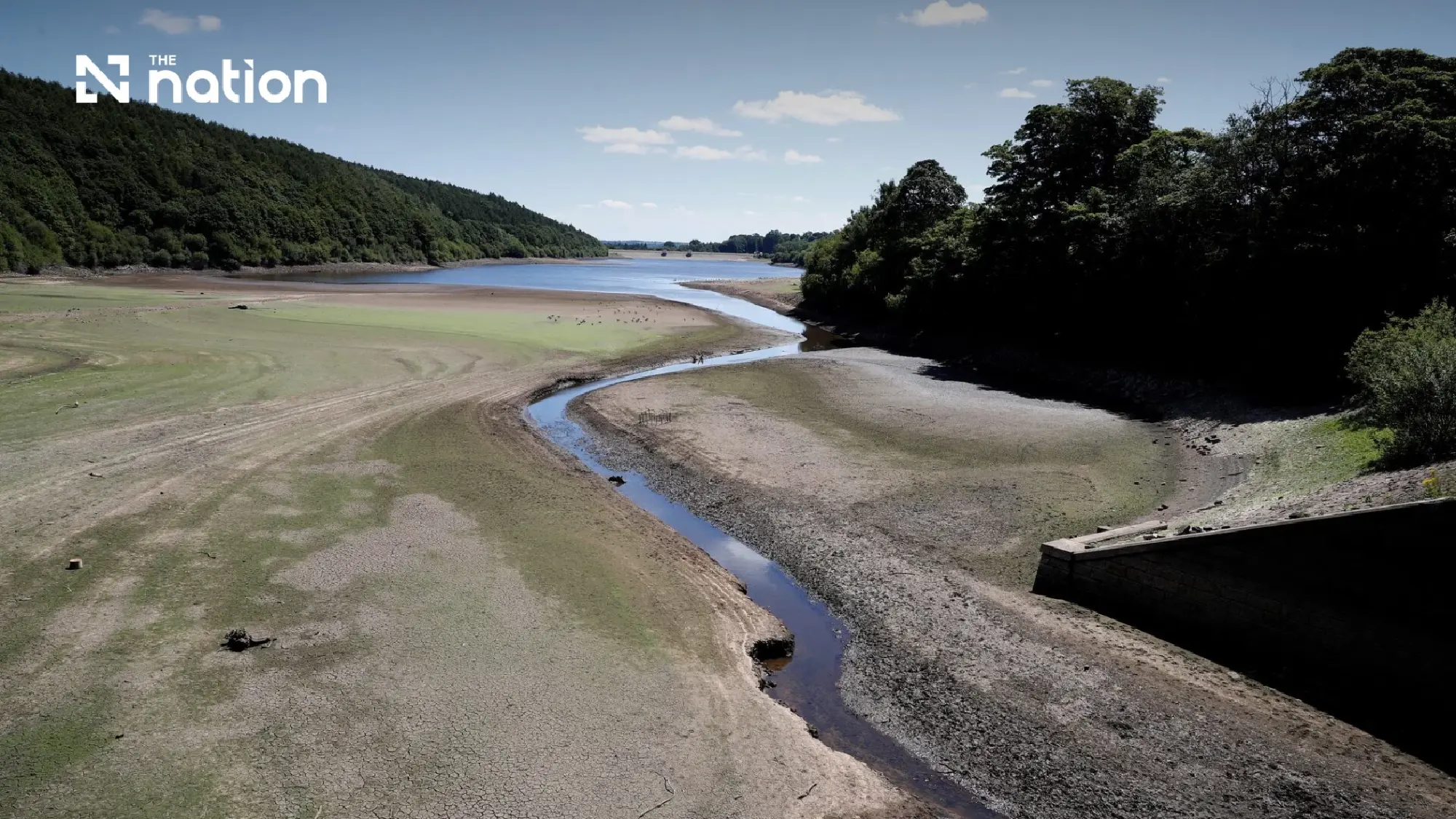
Exceptional heat builds beneath the Pacific
El Niño develops when the trade winds that normally blow from east to west across the equatorial Pacific weaken or reverse.
This allows warm surface water to move eastwards, reducing the upwelling of colder water near South America. The ocean then releases greater amounts of heat into the atmosphere, altering atmospheric circulation, moving storm tracks and changing temperature and rainfall patterns thousands of kilometres away.
The current event is being supported by a large reservoir of unusually warm water below the ocean surface. NOAA reported that subsurface temperature anomalies had reached as much as 10°C at depth in parts of the equatorial Pacific.
This accumulated heat could continue feeding the warming at the surface and contribute to further intensification as the event approaches its expected year-end peak.
Dr Zeke Hausfather, a climate scientist with Berkeley Earth, analysed 667 model simulations from 14 seasonal forecasting systems and found that their median projection placed the event’s peak at around 3.6°C above average.
His analysis estimated an approximately 91% chance that the event would exceed the previous record under the conventional Niño 3.4 measurement, although the probability fell to about 77% when assessed using NOAA’s relative index, which adjusts for the wider warming of the tropical oceans.
Hausfather stressed that models had never previously been tested against an El Niño of the projected magnitude, meaning strong agreement among forecasts did not guarantee that the most extreme outcome would occur.

Weather patterns could shift worldwide
The movement of ocean heat and changes in atmospheric circulation are expected to disrupt weather patterns across several continents.
The World Meteorological Organization forecasts drier-than-normal conditions over the Indian subcontinent, southern and eastern Australia, parts of Central America and the Caribbean, and north-western South America.
Wetter conditions are expected across the Greater Horn of Africa, southern Europe, parts of Central Asia, western North America and south-eastern South America. A positive Indian Ocean Dipole could amplify drought, flood and wildfire risks around the Indian Ocean basin.
For South Asia, weaker or more erratic monsoon rainfall could increase the risk of drought and place pressure on agricultural production and water supplies.
Australia also faces an increased risk of dry conditions and severe wildfires, while parts of South America and the southern United States could experience heavier rainfall and flooding.
However, forecasters emphasise that every El Niño develops differently and that typical effects are neither universal nor guaranteed.
The event is also expected to reduce hurricane activity in the Atlantic. El Niño generally increases vertical wind shear over the Atlantic basin, making it more difficult for tropical storms and hurricanes to form and organise. NOAA’s 2026 seasonal outlook assigned a 55% probability to a below-normal Atlantic hurricane season, partly because of the strengthening El Niño.
Wetter and stormier conditions possible in Europe
The effects on the United Kingdom and western Europe are generally less direct than those experienced in the tropics.
The Met Office nevertheless expects an increased likelihood of wetter, windier and more unsettled conditions during autumn and early winter, with November identified as a period when rainfall and storminess could increase.
El Niño can also raise the possibility of colder and calmer conditions in Britain later in the winter, although other climate drivers will influence the eventual outcome.
Food-security concerns intensify
The Food and Agriculture Organization of the United Nations and the World Food Programme have warned that a strong El Niño could disrupt planting, growing seasons, harvests, grazing land and water availability.
The agencies launched a US$202 million anticipatory-action appeal intended to protect 8.8 million people across 22 high-risk countries in Africa, Asia, the Pacific, Latin America and the Caribbean.
Some areas are expected to experience drought, while others face a greater risk of floods and storms, adding pressure to communities already affected by conflict, displacement, economic instability and existing food insecurity.
Global heat expected to peak in 2027
El Niño’s full effect on global average temperatures often becomes most apparent in the calendar year after the event reaches its winter peak.
Dr Nick Dunstone, a Met Office science fellow, explained that a large El Niño releases significantly more heat from the ocean into the atmosphere. He said the effect was likely to make 2027 warmer than 2024, which currently holds the global annual temperature record, and could result in another temporary annual average of more than 1.5°C above pre-industrial levels.
The temporary warming generated by El Niño sits on top of the longer-term rise caused primarily by greenhouse-gas emissions from human activity.
Scientists therefore warn that while El Niño is a natural climate cycle, its arrival in an already warmer world increases the likelihood of record temperatures and damaging weather extremes.
The event’s eventual strength and precise regional effects will become clearer as it approaches its expected peak. NOAA and the WMO stress that seasonal forecasts express probabilities rather than certainties, and that even an exceptionally powerful El Niño will not produce its typical effects in every location.
