
Thailand warned of heavy rain as monsoon trough brings flood risk
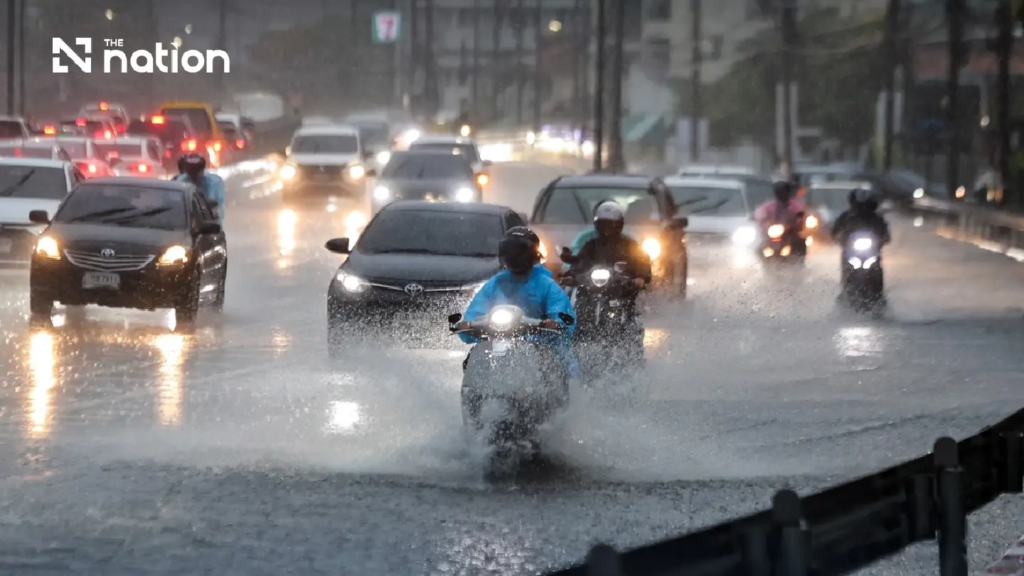


The Thai Meteorological Department warns of heavy rain in parts of Thailand on August 1, with risks of flash floods, forest run-off and rough waves during thunderstorms.
The Thai Meteorological Department forecast on August 1, 2026, that parts of Thailand would continue to see heavy rain over the next 24 hours, as a monsoon trough lies across the upper North and upper Laos.
The weather is also being influenced by a moderate south-westerly monsoon prevailing over the Andaman Sea, Thailand and the Gulf of Thailand.
People are advised to beware of heavy rain and accumulated rainfall, which could trigger flash floods and forest run-off, especially in foothill areas near waterways and low-lying zones.
Waves in the Andaman Sea and the Gulf of Thailand are weakening. In the upper Andaman Sea, waves are forecast at 1-2 metres, while the lower Andaman Sea and the Gulf of Thailand will see waves of about one metre.
In thunderstorm areas, waves may rise above two metres. Boat operators are advised to navigate with caution and avoid sailing in areas experiencing thunderstorms.
Weather forecast from 6am today to 6am tomorrow
North
Thunderstorms are expected in 70% of the area, with heavy rain in some places, especially in Mae Hong Son, Chiang Mai, Chiang Rai, Lampang, Nan, Tak and Kamphaeng Phet.
- Minimum temperature: 22-26°C
- Maximum temperature: 31-36°C
- South-westerly winds: 10-20 km/h
Northeast
Thunderstorms are expected in 70% of the area, with heavy rain in some places, especially in Loei, Nong Khai, Bueng Kan, Nong Bua Lamphu, Udon Thani, Sakon Nakhon and Nakhon Phanom.
- Minimum temperature: 23-25°C
- Maximum temperature: 30-34°C
- South-westerly winds: 10-20 km/h
Central region
Thunderstorms are expected in 60% of the area, with heavy rain in some places, especially in Lop Buri, Saraburi, Phra Nakhon Si Ayutthaya, Kanchanaburi, Ratchaburi and Nakhon Pathom.
- Minimum temperature: 23-26°C
- Maximum temperature: 33-36°C
- South-westerly winds: 10-20 km/h
East
Thunderstorms are expected in 60% of the area, with heavy rain in some places, especially in Nakhon Nayok, Rayong, Chanthaburi and Trat.
- Minimum temperature: 23-26°C
- Maximum temperature: 32-34°C
- South-westerly winds: 15-30 km/h
- Waves about one metre, rising above two metres in thunderstorm areas.
South, east coast
Thunderstorms are expected in 40% of the area, mostly in Phetchaburi, Prachuap Khiri Khan, Chumphon, Surat Thani, Yala and Narathiwat.
- Minimum temperature: 22-26°C
- Maximum temperature: 31-35°C
- South-westerly winds: 15-30 km/h
- Waves about one metre, rising above two metres in thunderstorm areas.
South, west coast
Thunderstorms are expected in 40% of the area, with heavy rain in some places, especially in Ranong.
- Minimum temperature: 23-25°C
- Maximum temperature: 31-35°C
- From Phang Nga northwards: south-westerly winds of 15-35 km/h. Waves 1-2 metres, rising above two metres in thunderstorm areas.
- From Phuket southwards: south-westerly winds of 15-30 km/h. Waves about one metre, rising above two metres in thunderstorm areas.
Bangkok and surrounding provinces
Thunderstorms are expected in 60% of the area, with heavy rain in some places.
- Minimum temperature: 24-26°C
- Maximum temperature: 33-35°C
- South-westerly winds: 10-20 km/h.
