
Landslide watch covers 15 provinces through August 1
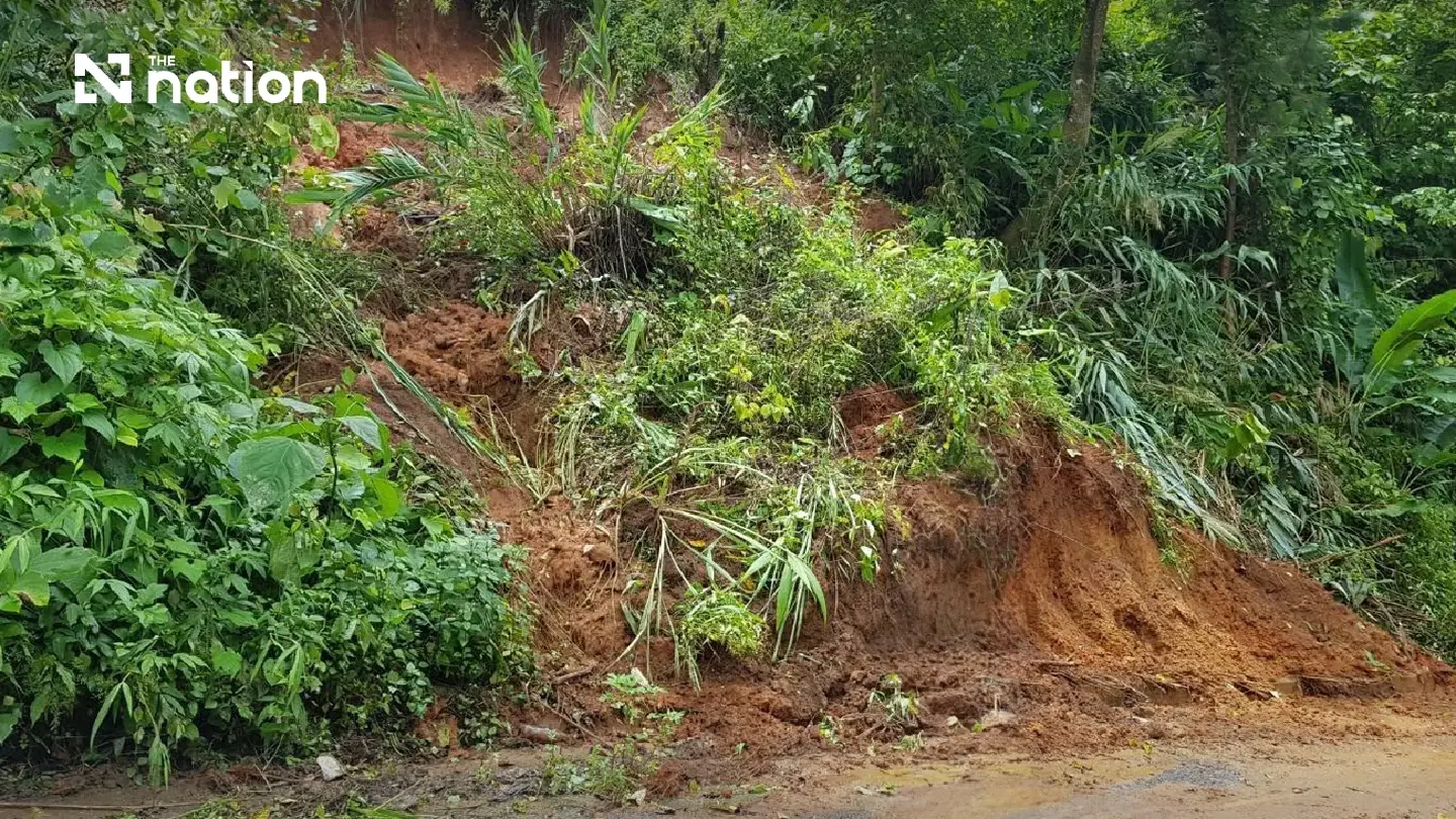


Rainfall above 150mm in 24 hours has prompted a landslide and flash-flood watch across 15 provinces through August 1.
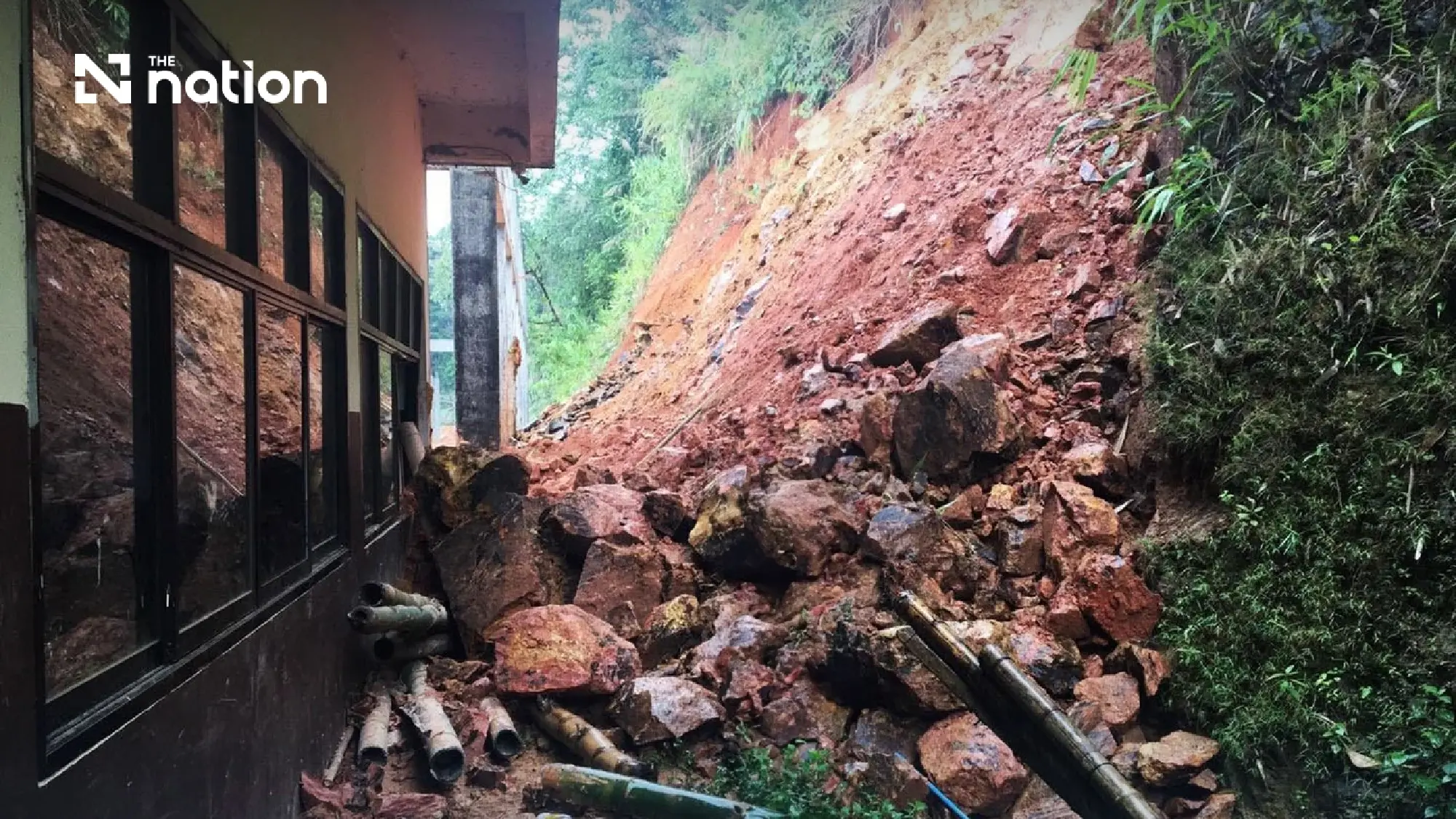
The Department of Mineral Resources has issued a landslide and flash-flood watch for 15 provinces from July 30 to August 1 after rainfall in some areas exceeded 150 millimetres within 24 hours.
The warning covers Tak, Mae Hong Son, Chiang Mai, Lamphun, Chiang Rai, Nan, Phayao, Phrae, Uttaradit, Phetchabun, Kanchanaburi, Chanthaburi, Trat, Ranong and Phang Nga.
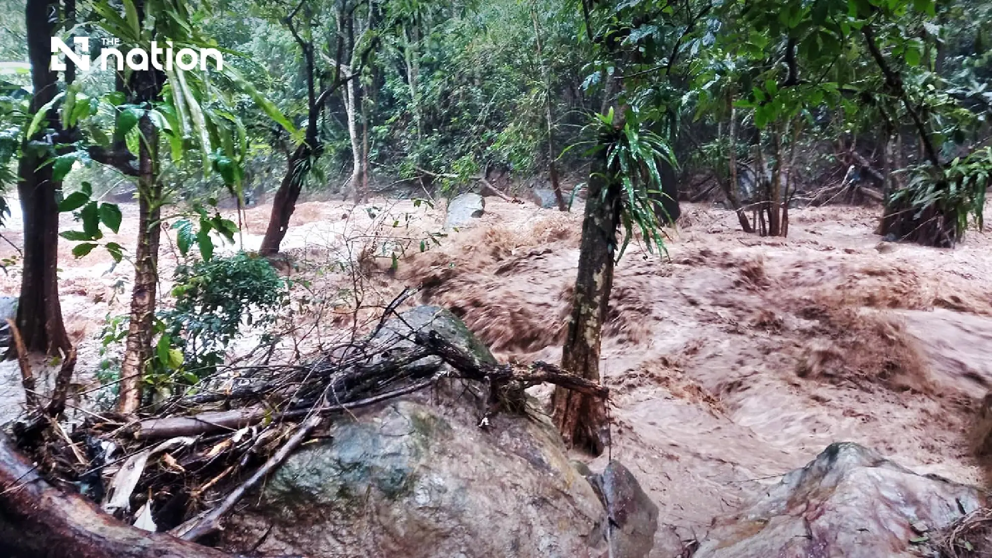
Several days of accumulated heavy rain have increased the threat of landslides, while flash flooding has already begun in some areas.
The department attributed the conditions to a monsoon trough extending across the North and Northeast, combined with a rather strong southwest monsoon. Its monitoring network has been instructed to measure rainfall continuously, while the department’s geohazard operations centre will closely follow developments.
Northern districts dominate watchlist
The following northern districts have been placed under surveillance:
- Tak: Umphang, Mae Sot, Mae Ramat and Tha Song Yang
- Mae Hong Son: Mae Sariang, Sop Moei, Khun Yuam, Mueang Mae Hong Son, Mae La Noi, Pang Mapha and Pai
- Chiang Mai: Mae Chaem, Samoeng, Omkoi, Hot, Chiang Dao, Wiang Haeng, Mae On, Mae Ai, Doi Saket and Fang
- Lamphun: Mae Tha, Ban Hong and Li
- Chiang Rai: Mueang Chiang Rai, Mae Suai, Wiang Pa Pao, Mae Fa Luang, Thoeng, Wiang Kaen, Chiang Khong, Mae Chan and Mae Lao
- Nan: Pua, Bo Kluea, Wiang Sa, Mueang Nan, Song Khwae, Na Muen, Na Noi, Tha Wang Pha and Mae Charim
- Phayao: Pong, Chiang Kham, Chun, Phu Sang and Chiang Muan
- Phrae: Mueang Phrae, Song, Rong Kwang, Long and Den Chai
- Uttaradit: Ban Khok, Nam Pat, Fak Tha, Tha Pla, Thong Saen Khan and Laplae
- Phetchabun: Lom Kao, Lom Sak, Khao Kho and Nam Nao
Central, eastern and southern areas at risk
Districts under watch in other regions are:
- Kanchanaburi: Sangkhla Buri, Thong Pha Phum, Sai Yok and Si Sawat
- Chanthaburi: Makham, Khlung, Khao Khitchakut, Soi Dao and Pong Nam Ron
- Trat: Khao Saming, Bo Rai and Ko Chang
- Ranong: Kra Buri, Kapoe, Suk Samran, Mueang Ranong and La-un
- Phang Nga: Takua Pa, Takua Thung, Khura Buri, Kapong, Thai Mueang and Mueang Phang Nga
Northern flood threat may last until August 3
The Hydro-Informatics Institute has separately warned of flash floods, rapid run-off and waterlogging in Mae Hong Son, Chiang Rai, Phayao, Nan, Chiang Mai, Lampang, Phrae and Uttaradit.
Continuous rain is expected across the North until about August 3.
The Thai Meteorological Department’s Advisory No.14 also warned of heavy to very heavy rain across Thailand on July 30.
Isolated very heavy rain was forecast in:
- North: Phetchabun
- East: Nakhon Nayok, Rayong, Chanthaburi and Trat
- South: Ranong
Heavy rain was forecast in:
- North: Mae Hong Son, Chiang Mai, Nan, Uttaradit, Tak, Kamphaeng Phet, Sukhothai, Phitsanulok and Phichit
- Northeast: Loei, Nong Khai, Bueng Kan, Nong Bua Lamphu, Udon Thani, Chaiyaphum, Khon Kaen, Nakhon Ratchasima, Buri Ram and Surin
- Central region: Nakhon Sawan, Uthai Thani, Saraburi, Ayutthaya, Kanchanaburi, Ratchaburi, Nakhon Pathom and Samut Sakhon, including Bangkok and surrounding provinces
- East: Prachin Buri, Sa Kaeo, Chachoengsao and Chon Buri
- South: Phetchaburi, Prachuap Khiri Khan, Chumphon, Surat Thani, Phang Nga, Phuket and Krabi
The Meteorological Department advised people to remain alert to flash floods and rapid run-off caused by heavy and accumulated rainfall, particularly near foothills, waterways and low-lying areas.
Residents told to prepare for emergencies
The Department of Mineral Resources issued the following guidance for communities in vulnerable areas:
- Monitor weather reports and rainfall totals, particularly where more than 100 millimetres is recorded within 24 hours.
- Move belongings, animals and other property from low-lying or flood-prone locations to higher or safer ground.
- Watch for warning signs such as water suddenly becoming muddy or branches and other debris being carried downstream.
- Avoid crossing waterways, taking shortcuts through streams or entering the water to catch fish or other aquatic animals.
- Arrange round-the-clock community monitoring.
- Establish warning systems linking upstream, midstream and downstream communities.
- Keep torches and other lighting equipment ready.
- Remain alert and prepared to move immediately to a designated safe area.
