Phetchabun braces as Pa Sak River closes in on overflow level


Pa Sak River in Lom Kao, Phetchabun, reached 7.48 metres, leaving 1.36 metres before overflow as crews and flood equipment went on 24-hour standby.
- The Pa Sak River in Phetchabun's Lom Kao district has risen to just 1.36 metres below its overflow level due to persistent monsoon rain.
- Authorities have placed emergency personnel, officials, and flood-response equipment on round-the-clock standby.
- Residents in low-lying communities have been warned and advised to move valuables and electrical appliances to higher ground.
- Meteorological forecasts predict more very heavy rain for Phetchabun, increasing the risk of the river overflowing.
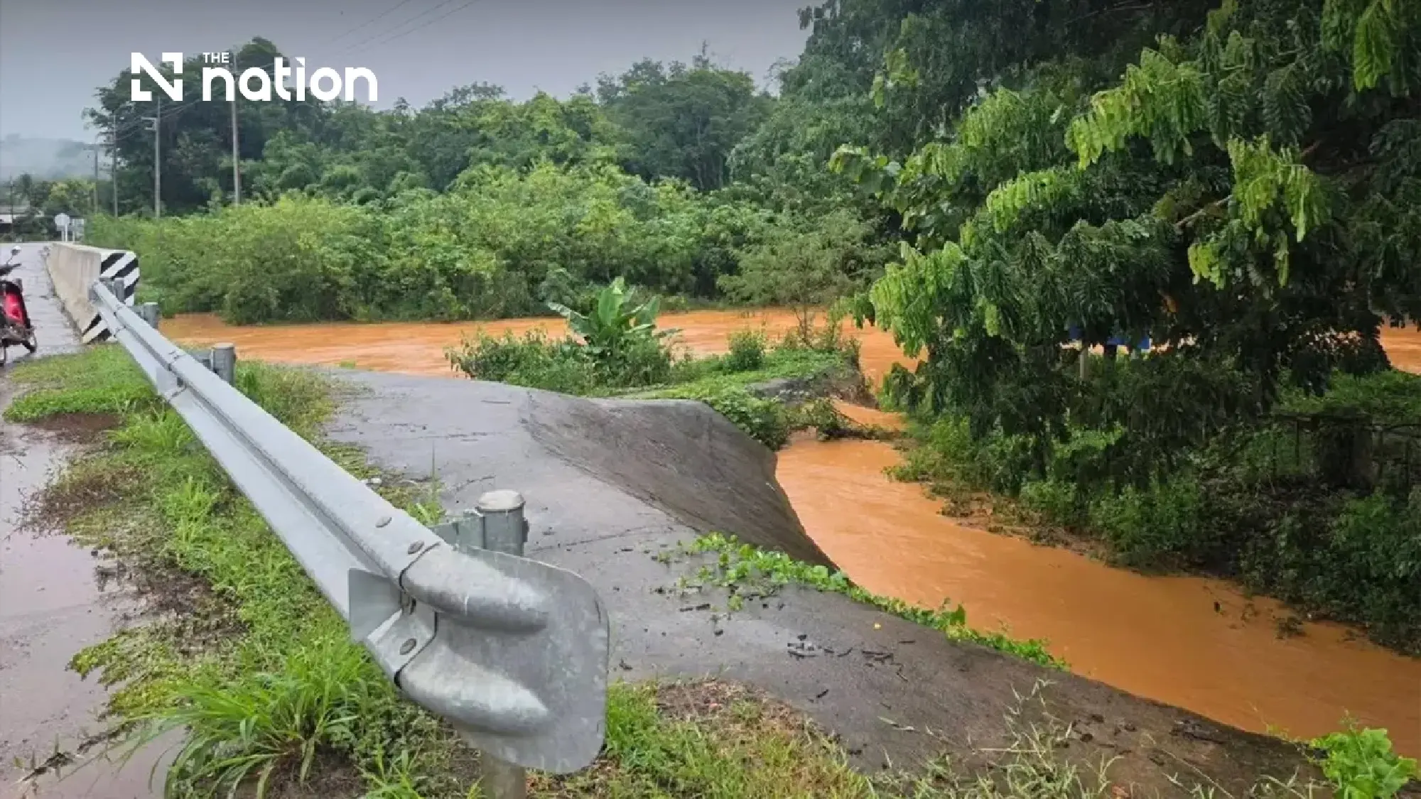
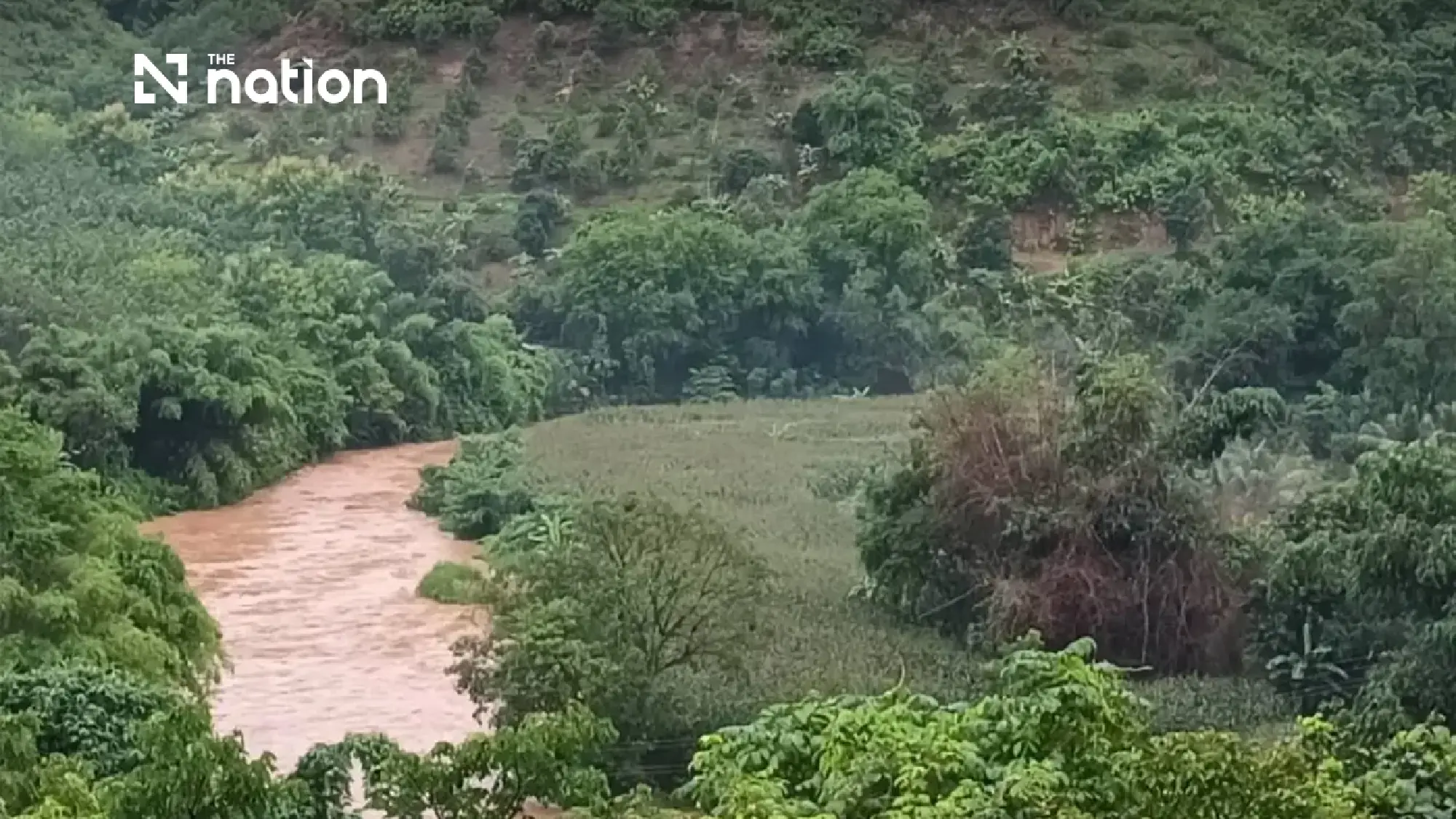
The Pa Sak River in Lom Kao district, Phetchabun, rose to 7.48 metres on Friday morning, leaving a margin of just 1.36 metres before reaching bank level as persistent monsoon rain increased water volumes across the area.
Phetchabun’s provincial disaster prevention and mitigation command reported at 8am on Friday (July 31) that dense rain clouds covered the district, with continuous light to moderate rain causing water levels in major waterways and tributaries to rise rapidly.
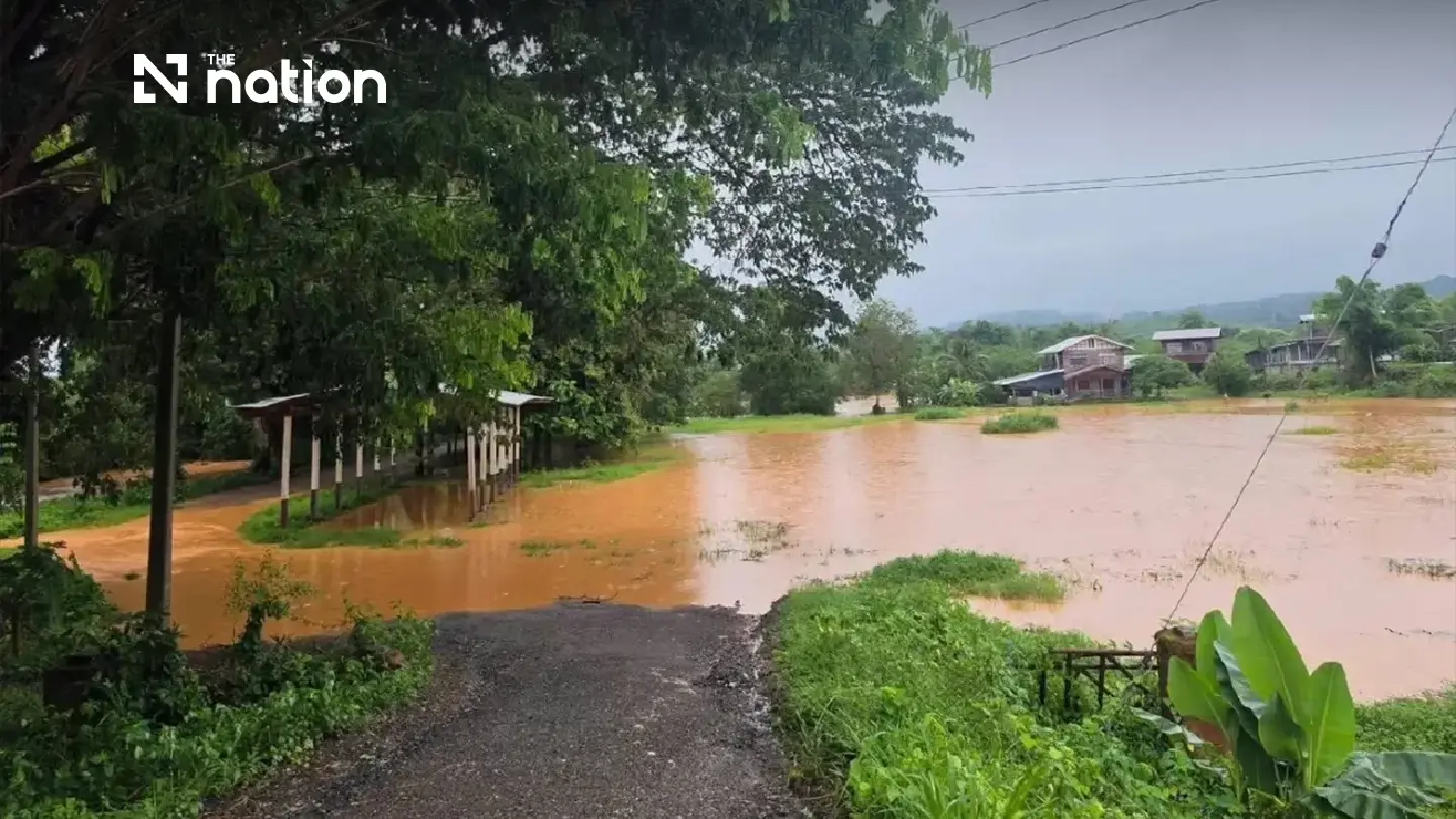
Authorities placed local officials, emergency personnel and flood-response equipment on round-the-clock standby, while residents in low-lying communities were advised to move electrical appliances and valuables to higher ground.
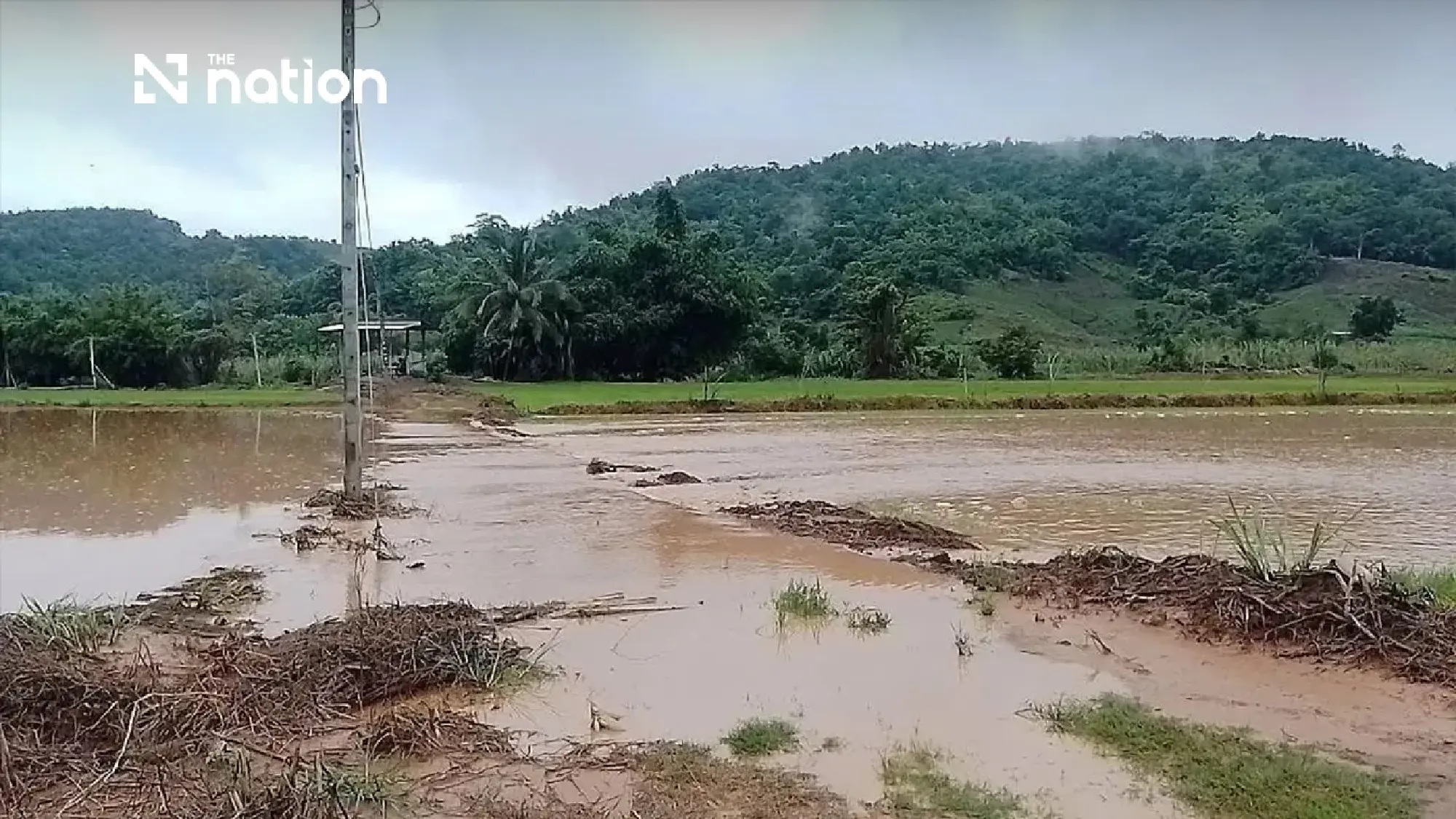
Pa Sak River leaves 1.36-metre margin
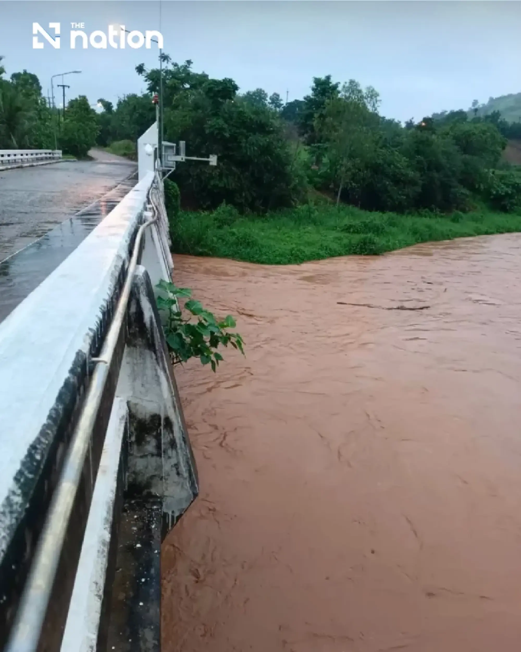
At the S-33 bridge in Tha Hai Yong, Moo 15, Sila subdistrict, the Pa Sak River was measured at 7.48 metres, compared with a bank level of 8.84 metres.
A further rise of 1.36 metres would bring the river to bank level, after which water could spill into nearby areas.
At Wang Sim weir in Moo 5 of Lom Kao subdistrict, the water level in Huai Nam Phung stood at 2.20 metres. Its bank level is 6 metres, leaving a further capacity of 3.80 metres.
Levels in Huai Nam Ya and Huai Nam Lao were also continuing to rise. Although neither waterway had overflowed and no homes had been affected, officials were closely monitoring the additional water flowing into the local river system.

District orders round-the-clock flood preparations
Lom Kao district instructed government agencies, local administrative organisations, subdistrict heads and village heads to distribute flood warnings immediately throughout local communities and villages.
Residents in low-lying areas and communities along the Pa Sak River and its tributaries were urged to maintain a high level of preparedness.
The instructions particularly emphasised moving household items, electrical appliances and valuables to higher ground, as well as preparing assistance for bedridden patients and elderly residents.
Local authorities were also directed to establish monitoring teams and prepare water pumps, flat-bottomed boats, disaster-response machinery and personnel for round-the-clock deployment should floodwater enter residential areas.

Very heavy rain forecast for Phetchabun
The Northern Meteorological Centre forecast heavy rain in parts of northern Thailand between 6am on Friday and 6am on Saturday.
The conditions were attributed to a monsoon trough extending across the North and Northeast, together with a fairly strong southwesterly monsoon prevailing over the Andaman Sea, Thailand and the Gulf of Thailand.
Thunderstorms were forecast across 70% of the upper North, with heavy rain expected in Mae Hong Son, Chiang Mai and Nan, and very heavy rain in parts of Chiang Rai.
The lower North was also expected to experience thunderstorms across 70% of the region. Heavy rain was forecast in Tak, Kamphaeng Phet, Sukhothai, Uttaradit, Phitsanulok and Phichit, while parts of Phetchabun faced a risk of very heavy rain.
Residents in foothill communities near waterways and in low-lying areas were advised to remain alert to accumulated rainfall that could trigger flash floods and run-off.