
Northern and eastern Thailand face floods as hospitals stock supplies



Heavy rain threatens northern districts through August 3, while hospitals nationwide prepare 72-hour reserves as flood and landslide risks persist
- Authorities have issued a warning for heavy rain, flash floods, and landslides across northern Thailand from August 1-3, caused by a monsoon trough.
- The highest accumulated rainfall, exceeding 200mm, is forecast for the Lom Sak, Lom Kao, and Khao Kho districts in Phetchabun province.
- Other provinces identified as high-risk areas on specific days include Chiang Rai, Chiang Mai, Tak, Phitsanulok, and Nakhon Sawan.
- In response, hospitals in risk areas have been instructed to maintain essential supplies for at least 72 hours, and disaster response teams are on alert.
Authorities have warned of heavy rain, flash floods, forest run-off and landslides across northern Thailand from August 1–3, while hospitals in risk areas have been instructed to maintain essential supplies for at least 72 hours.
The Thai Meteorological Department reported on Saturday that isolated heavy rain would continue as a monsoon trough lay across the upper North and upper Laos, while a moderate south-westerly monsoon covered the Andaman Sea, Thailand and the Gulf of Thailand.
Residents were advised to remain alert to heavy and accumulated rainfall, particularly in foothill communities near waterways and in low-lying areas where flash floods and run-off could occur.
The Office of the National Water Resources’ regional office covering the North issued a three-day risk assessment for August 1–3, identifying districts expected to receive more than 90 millimetres of rain and areas forecast to record between 35 and 90 millimetres.
Three districts in Phetchabun — Lom Sak, Lom Kao and Khao Kho — were placed in the highest accumulated-rainfall category, with more than 200 millimetres forecast over the three days.
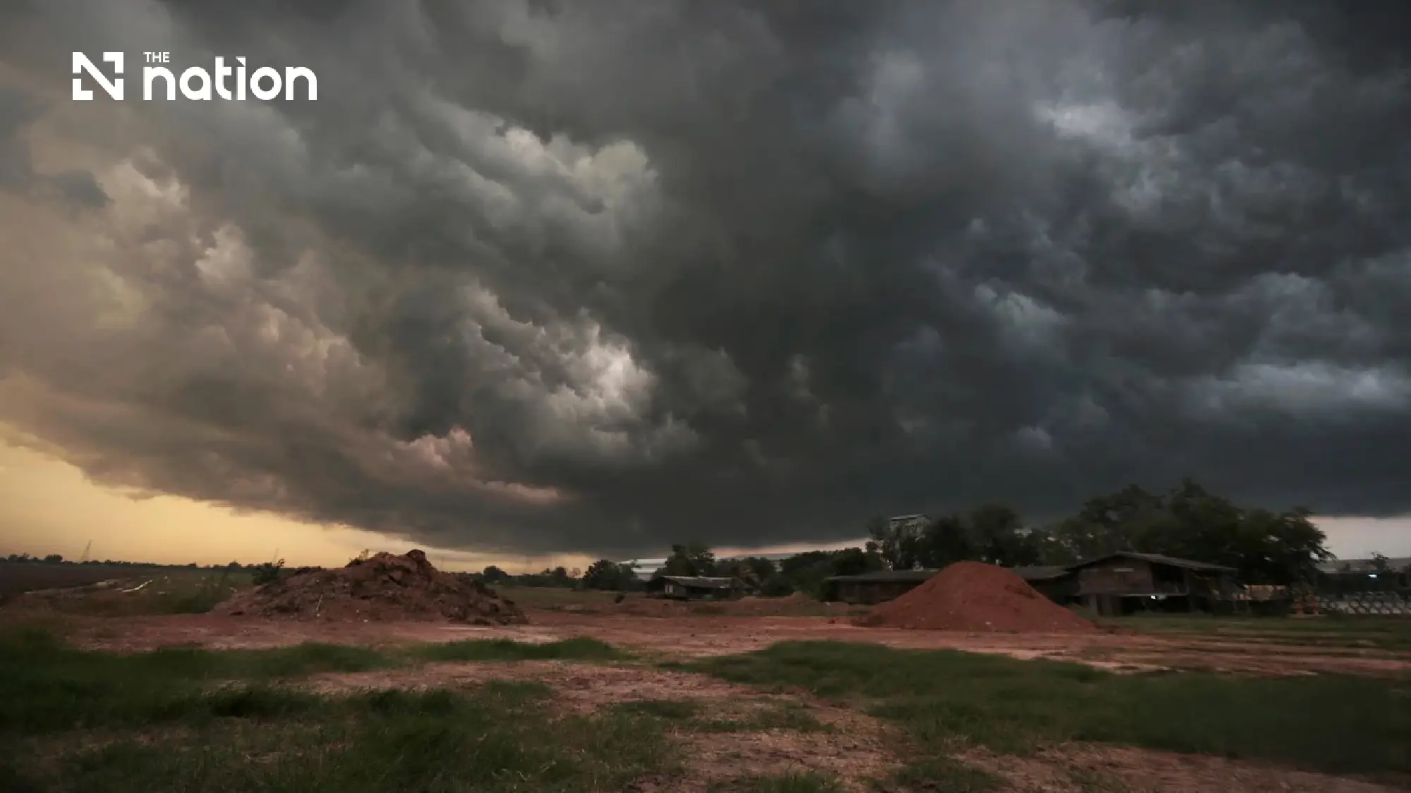
Highest rainfall risk on August 1
Areas classified as orange, indicating more than 90 millimetres of forecast rainfall, were:
- Tak: Umphang
- Chiang Rai: Mueang Chiang Rai and Phan
- Phitsanulok: Nakhon Thai, Wang Thong and Noen Maprang
- Phetchabun: Lom Sak, Lom Kao, Nam Nao and Khao Kho
Yellow-level areas, where rainfall of 35–90 millimetres was forecast, were:
- Chiang Rai: Wiang Chai, Chiang Khong, Pa Daet, Mae Chan, Chiang Saen, Wiang Kaen, Mae Fah Luang and Doi Luang
- Nan: Mae Charim, Na Noi, Tha Wang Pha, Wiang Sa, Thung Chang and Chiang Klang
- Phitsanulok: Mueang Phitsanulok, Bang Rakam, Bang Krathum and Wat Bot
- Phichit: Mueang Phichit, Sam Ngam, Sak Lek and Wachirabarami
- Phetchabun: Mueang Phetchabun and Si Thep
- Phayao: Chun, Chiang Kham, Dok Khamtai, Mae Chai and Phu Kamyao
- Chiang Mai: Omkoi and Fang
- Lampang: Ngao
- Uttaradit: Tha Pla
- Mae Hong Son: Sop Moei
- Kamphaeng Phet: Khanu Woralaksaburi
- Tak: Mae Ramat and Tha Song Yang
- Loei: Dan Sai and Na Haeo
- Chiang Mai and Chiang Rai face highest risk on August 2
Orange-level areas forecast to receive more than 90 millimetres were:
- Chiang Mai: Fang and Mae Ai
- Chiang Rai: Mae Suai
Yellow-level areas were:
- Chiang Mai: Omkoi, Chai Prakan and Chiang Dao
- Lampang: Wang Nuea
- Nan: Thung Chang and Chiang Klang
- Phayao: Pong
- Chiang Rai: Mueang Chiang Rai and Phan
- Kamphaeng Phet: Phran Kratai and Kosamphi Nakhon
- Tak: Mae Ramat, Tha Song Yang, Mae Sot and Umphang
- Phitsanulok: Nakhon Thai and Chat Trakan
- Phetchabun: Lom Sak
Risk shifts southwards on August 3
Orange-level areas were:
- Nakhon Sawan: Takhli, Phaisali and Tak Fa
- Phetchabun: Chon Daen, Lom Sak, Lom Kao, Wichian Buri, Si Thep, Nong Phai, Bueng Sam Phan and Khao Kho
Yellow-level areas were:
- Chiang Rai: Mueang Chiang Rai, Chiang Khong, Thoeng, Phan, Mae Chan, Chiang Saen, Mae Sai, Phaya Mengrai, Wiang Kaen, Khun Tan, Mae Fah Luang and Mae Lao
- Chiang Mai: Omkoi, Mae Wang, Mae On, Doi Lo, Chom Thong, Mae Chaem and San Kamphaeng
- Mae Hong Son: Khun Yuam, Mae Sariang, Mae La Noi and Sop Moei
- Nakhon Sawan: Mueang Nakhon Sawan, Nong Bua, Tha Tako and Phayuha Khiri
- Kamphaeng Phet: Mueang Kamphaeng Phet, Phran Kratai and Kosamphi Nakhon
- Tak: Mae Ramat, Tha Song Yang, Mae Sot, Phop Phra, Umphang and Wang Chao
- Nan: Mae Charim, Pua, Tha Wang Pha, Wiang Sa, Thung Chang, Bo Kluea and Song Khwae
- Phetchabun: Mueang Phetchabun, Nam Nao and Wang Pong
- Phayao: Chun, Chiang Kham, Dok Khamtai, Pong and Phu Sang
- Phitsanulok: Wang Thong and Noen Maprang
- Lampang: Mueang Pan
- Phichit: Dong Charoen
- Loei: Phu Luang
- Saraburi: Wang Muang
For the three-day period, Lom Sak, Lom Kao and Khao Kho in Phetchabun were placed at red level, with accumulated rainfall expected to exceed 200 millimetres.
Orange-level accumulated rainfall of 150–200 millimetres was forecast in:
- Fang district, Chiang Mai
- Phan district, Chiang Rai
- Phaisali district, Nakhon Sawan
- Umphang district, Tak
- Wang Thong district, Phitsanulok
- Nam Nao district, Phetchabun
- Flood-response measures continue in five provinces
The Department of Disaster Prevention and Mitigation was monitoring heavy rain, flash floods and landslides while supporting affected provinces.
In Chiang Rai, overflowing waterways affected three districts, four subdistricts and four villages in Mueang Chiang Rai, Mae Lao and Mae Sai.
About 50 homes were affected, while damage to agricultural land remained under assessment. The immediate situation had eased, but provincial authorities continued issuing alerts and keeping disaster-response machinery ready.
In Loei, officials used steel plates and large sandbags to seal drainage pipes in the Fak Loei community and Nong Ngu Lueam area of Loei municipality, preventing water from the Loei River from flowing back into inner areas.
Disaster Prevention and Mitigation Centre Region 14 in Udon Thani deployed a 14-inch water pump to accelerate drainage.
In Phetchabun, authorities reinforced vulnerable sections of the Pa Sak River flood barrier with sandbags and large bags. Personnel were assigned to maintain round-the-clock surveillance to protect the commercial area of Lom Sak municipality.
In Prachin Buri, water accumulated along about 200 metres of Soi 4/3 in Phong Somphung village, Tha Tum subdistrict of Si Maha Phot district.
Provincial disaster officials coordinated with the Tha Tum Subdistrict Administrative Organisation to install three three-inch pumps.
In Nan, a landslide blocked Highway 1256 on the Pua–Doi Phu Kha National Park–Bo Kluea route at kilometre marker 26.
A Bo Kluea Hospital ambulance using the road was trapped by the slide, but Phu Kha Subdistrict Administrative Organisation used a tractor to tow it from the area.
Health Ministry orders 72-hour reserves
Public Health Ministry permanent secretary Dr Somruek Chungsaman said floods remained active in Phayao and Yasothon, both classified as high-surveillance orange areas.
Although overall rainfall had declined, accumulated rain continued to create risks of forest run-off, landslides and standing water.
The main areas under surveillance included the North, upper Northeast, East and Ranong.
The ministry assessed that risks would remain stable or temporarily decrease from August 1–3, although saturated soil would continue to threaten mountainous areas.
Rainfall was expected to increase again from August 4–6, particularly in the upper Northeast, East and the western coast of the South.
Waves in the upper Andaman Sea were also forecast to reach two to three metres from August 3–6.
The ministry warned that these conditions could affect medical facilities, emergency medical routes, patient transfers and vulnerable residents.
No hospitals had suspended services, and there had been no reported disruption to electricity, water or oxygen systems. No requests for support from the central government had been received.
The ministry ordered all provinces and health regions, particularly those facing elevated risk, to:
- Confirm the readiness of hospitals, primary and alternative emergency medical routes, backup electricity, fuel, water, oxygen, medicines, blood and medical supplies sufficient for at least 72 hours
- Raise surveillance levels from August 3–4 and review contingency arrangements for essential services, patient referrals, disease-control teams, environmental-health teams and mental-health teams
- Closely monitor vulnerable residents, including dialysis patients, bedridden people, oxygen users, pregnant women and patients requiring continuous medication
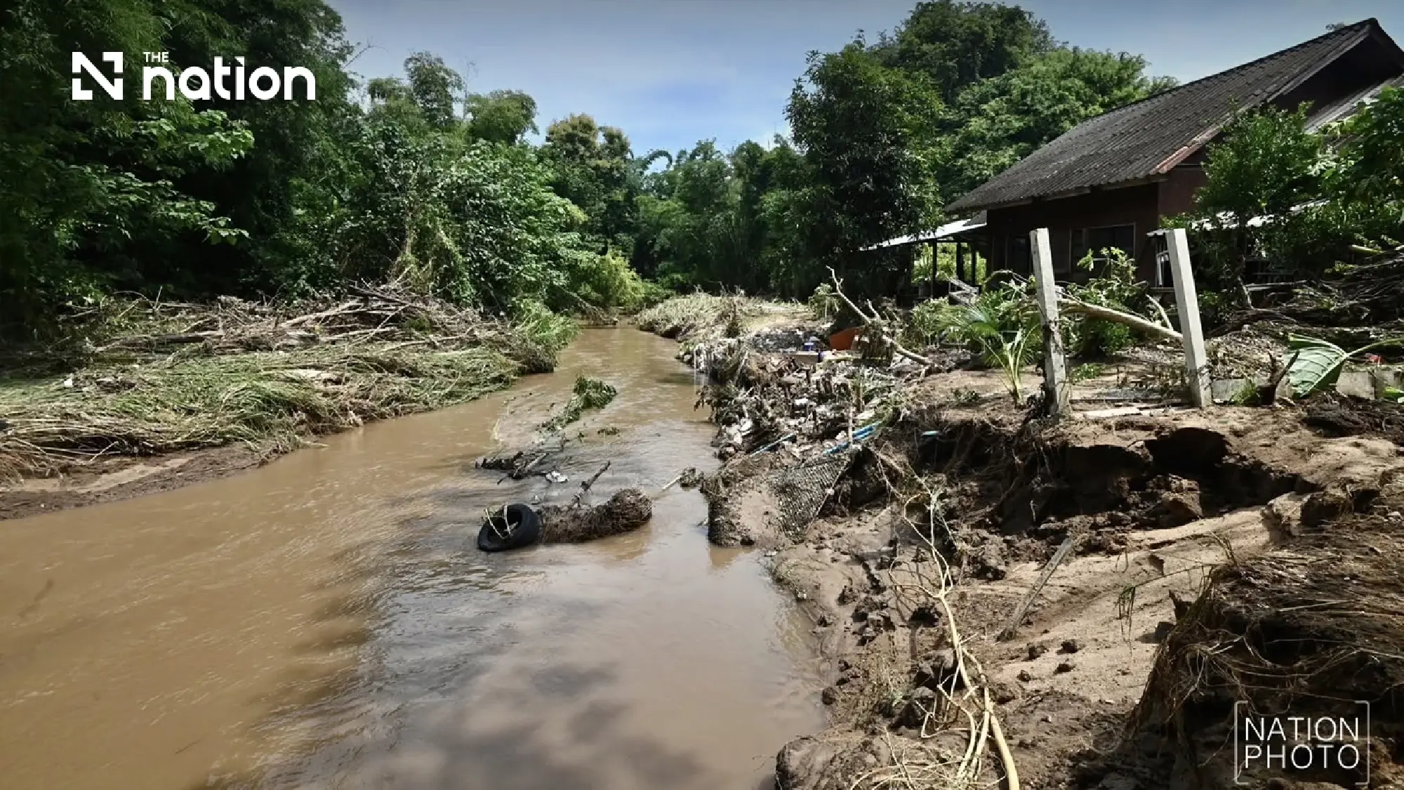
Risk areas begin health preparations
Health authorities in Phayao and Yasothon were monitoring medical facilities, vulnerable groups and access to communities affected by flooding.
Mountainous areas in the North were watching for damaged roads, landslides and possible sudden disruption to emergency medical and referral routes.
Chanthaburi, Trat and Ranong were monitoring health facilities near foothills and inter-district patient-transfer routes.
Authorities in the upper Northeast were focusing on dialysis patients, bedridden residents, oxygen users and people requiring uninterrupted medication as the risk of heavier rainfall returned.
